Current Affairs
Great Nicobar Project: Strategic Necessity or Ecological Threat?


The Union Government defended the Great Nicobar Island Development Project, describing it as a “strategic necessity” aimed at strengthening India’s economic and defence presence in the Indo-Pacific region.
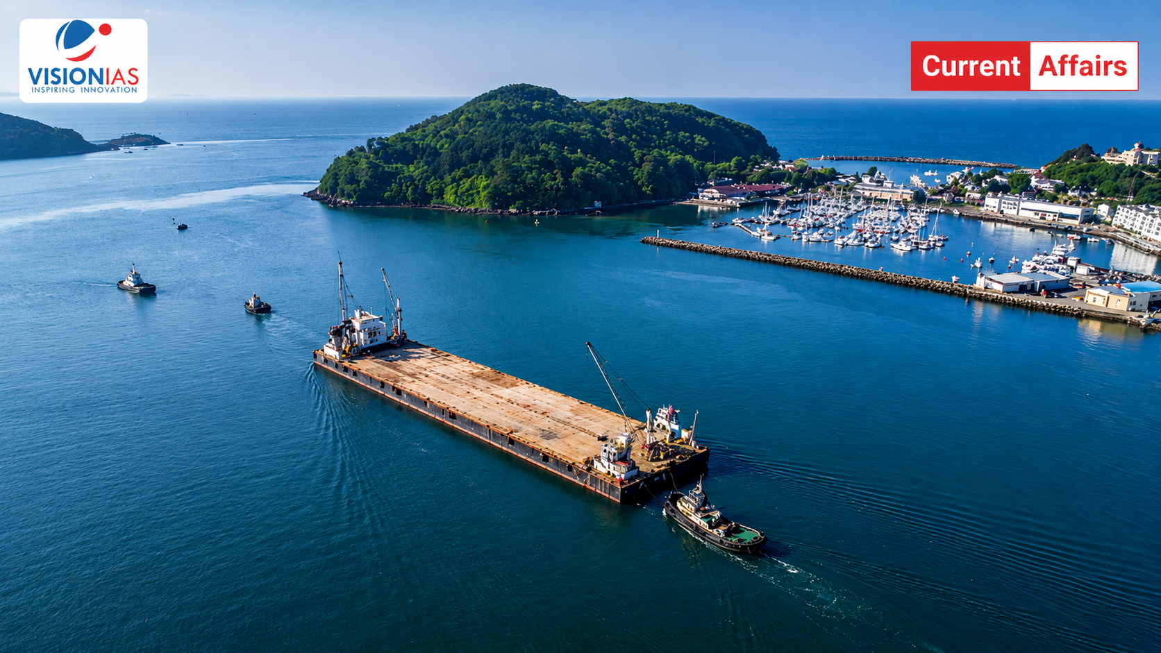
The Great Nicobar Project has emerged as one of India’s most ambitious and controversial infrastructure initiatives. Approved by the Cabinet in 2021, this ₹72,000-crore development plan aims to transform Great Nicobar Island into a strategic maritime hub near the Malacca Strait, one of the world’s busiest shipping corridors.
While the Union Government defends it as a “strategic necessity” for India’s Indo-Pacific ambitions, environmentalists and opposition leaders continue to raise serious concerns about large-scale deforestation, biodiversity loss, and the rights of indigenous communities such as the Shompen.
What Is the Great Nicobar Project?
Formally known as the Holistic Development of Great Nicobar Island, the project is conceived by NITI Aayog and executed by the Andaman and Nicobar Islands Integrated Development Corporation Limited (ANIIDCO). It follows a phased 30-year implementation plan spanning a total area of 166 sq km roughly 10% of Great Nicobar’s 910 sq km landmass.
The project draws inspiration from global models like Singapore and Hong Kong, aiming to position Great Nicobar Island as a “growth pole” for the BIMSTEC region. Its four core infrastructure components are:
- International Container Transhipment Terminal (ICTT) at Galathea Bay designed to rival Singapore’s transhipment throughput and cut India’s dependence on foreign ports like Colombo and Singapore
- Greenfield International Airport with a 3,300-metre runway capable of handling wide-body aircraft and up to 10 million passengers annually
- 450 MVA Hybrid Gas-Solar Power Plant to ensure energy self-sufficiency and uninterrupted supply for all project operations
- A Modern Township spanning over 16,000 hectares to support residential, commercial, and institutional requirements
Strategic and Economic Importance
India’s Indo-Pacific Ambitions
Great Nicobar Island sits approximately 40 nautical miles from the East-West international shipping route, a corridor that carries roughly 25% of global trade near the China-influenced Malacca Strait. This geographic advantage makes the island a natural candidate for a deep-water transhipment hub.
Currently, India’s ports lack deep-water berths for large container vessels, forcing cargo to be routed through Colombo and Singapore costing India significant revenue. Countries like Myanmar, China, and Sri Lanka are already building deep-water facilities to capture this trade. The ICTT at Galathea Bay, with a natural water depth of over 20 metres, aims to reverse this dependence and assert India’s position as a leading maritime nation.
Defence and National Security
The Great Nicobar Project is not merely economic in intent, it carries a strong defence dimension. The island’s location enables India to:
- Monitor and project power across eastern maritime chokepoints, including the Sunda, Lombok, and Ombai-Wetar straits
- Deploy a dual-use greenfield airport for both civilian and military operations
- Serve as India’s frontline in the eastern Indo-Pacific against potential maritime threats
The project aligns with the Centre’s Sagarmala Initiative and supports Maritime India Vision 2030, directly advancing India’s “Act East” regional connectivity goals.
Economic Projections
The scale of economic opportunity is significant. According to government estimates, the transshipment port alone could generate ₹30,000 crore in annual revenue by 2040, while creating approximately 50,000 jobs in the region making it a transformative project for the Andaman and Nicobar Islands.
Concerns and Criticisms
Biodiversity at Serious Risk
Great Nicobar is a globally recognised biodiversity hotspot and a candidate for UNESCO World Heritage Site status. It hosts around 200 bird species including the endangered Nicobar megapode and retains 85% forest cover. Critics argue that large-scale construction will trigger irreversible biodiversity loss that no compensatory afforestation can adequately address.
Galathea Bay, where the ICTT is proposed, compounds these concerns. It is:
- A Ramsar wetland of international importance
- India’s most critical nesting site for the giant leatherback sea turtle
- Home to coral reefs supporting hundreds of fish species — threatened by dredging and port construction
Disruption of the marine food chain here would have cascading ecological consequences far beyond the island itself.
Natural Disaster Vulnerability
The island’s physical geography poses serious risks to any large-scale construction. Mangroves in Galathea Bay serve as natural barriers against tsunamis. Their removal would directly increase coastal vulnerability. The island lies in a seismically active, cyclone-prone zone, and experts warn that large-scale land reclamation could worsen erosion and amplify seismic risks over the long term.
Regulatory and Legal Concerns
Perhaps the most serious criticisms are procedural and legal in nature:
- Coastal Regulation Zone (CRZ) dilution allegations of weakened environmental norms to facilitate clearances.
- Flawed EIA process concerns raised by environmentalists and opposition leaders about the adequacy of public consultation.
- The project has faced allegations that its clearances bypass the Forest Rights Act, 2006, effectively denying the Shompen their right to free, prior, and informed consent.
- Seismic and tsunami risk critics argue the disaster vulnerability of the site has not been adequately factored into project planning.
Environmental Safeguards: What the Government Says
Forest Diversion and Compensatory Afforestation
The Ministry of Environment, Forest and Climate Change (MoEF&CC) has maintained that environmental impacts have been carefully assessed and mitigated. Of the estimated 18.65 lakh trees in the project area, the maximum number expected to be felled is 7.11 lakh, to be carried out in phases within 49.86 sq km of forest.
Crucially, the project will divert only 1.82% of the total forest cover of the Andaman and Nicobar Islands, a figure the government cites as evidence of its restrained approach.
Environmental Clearance and Monitoring
The project received prior Environmental Clearance under the EIA Notification, 2006 after a rigorous process of screening, scoping, public consultation, and expert appraisal. The clearance incorporates 42 specific conditions covering air, water, noise, waste management, marine ecology, and disaster management, backed by a comprehensive Environment Management Plan (EMP).
Multiple expert institutions have reviewed the project, including the Zoological Survey of India (ZSI), Wildlife Institute of India (WII), Salim Ali Centre for Ornithology (SACON), and the Indian Institute of Science (IISc).
Tribal Welfare: Inclusion at the Centre of Planning
Who Lives on Great Nicobar Island?
Great Nicobar Island is home to two Particularly Vulnerable Tribal Groups (PVTGs) — communities that require special constitutional and legal protections:
- The Shompen (approximately 237 individuals) hunter-gatherers living in the island’s interior forests
- The Nicobarese (approximately 1,094 individuals) coastal communities who depend primarily on fishing for survival
Government’s Commitments on Tribal Rights
The government has explicitly stated that no displacement of tribal communities is proposed under the Great Nicobar Project. Tribal habitations at New Chingen and Rajiv Nagar, the only settlements within the project area are excluded from any relocation plans.
The project is aligned with the Shompen Policy of 2015 and the Jarawa Policy of 2004, both of which mandate structured consultation and prioritise the welfare of PVTGs. Extensive consultations have been held with the Ministry of Tribal Affairs, the Andaman Adim Janjati Vikas Samiti (AAJVS), and the Anthropological Survey of India.
Conclusion
The Great Nicobar Project stands at a defining crossroads where national security meets ecological responsibility, and economic ambition confronts the rights of some of India’s most vulnerable communities. The true measure of the Great Nicobar Project will not be the speed of its construction, but whether India can demonstrate to the world that economy and ecology are not enemies.
Master Digital Age Governance & Technology Trends with VisionIAS Comprehensive Current Affairs →
Great Nicobar Project FAQs
1. Which agency is executing the Great Nicobar Project?
Ans. ANIIDCO (Andaman and Nicobar Islands Integrated Development Corporation Limited).
2. What are the four core components of the Great Nicobar Project?
Ans. A transhipment terminal, international airport, hybrid power plant, and modern township.
3. Which critically endangered sea turtle nests at Galathea Bay?
Ans. The giant leatherback sea turtle.
4. Which indigenous communities live on Great Nicobar Island?
Ans. The Shompen and the Nicobarese.
5. Why is Galathea Bay environmentally significant?
Ans. It is a Ramsar wetland and India’s most critical nesting site for the giant leatherback sea turtle.