
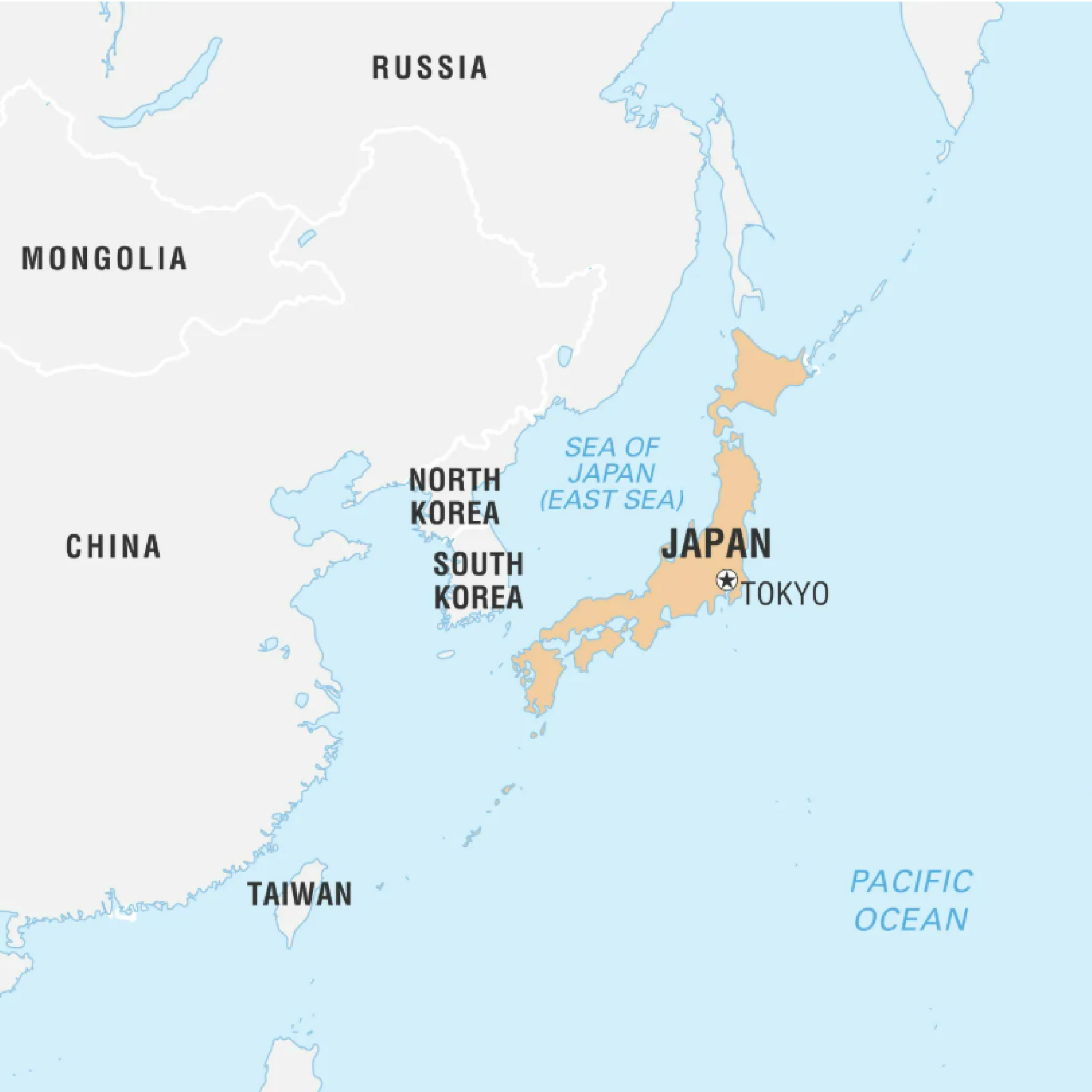
Japan (Capital: Tokyo)
Japan's space agency successfully launched navigation satellite Michibiki 6 using its new H3 rocket.
- Michibiki 6 will be fifth satellites of Japan’s regional navigation system named quasi-zenith satellite system, or QZSS,
Political Features:
- Land Boundaries: Island nation with no land borders.
- Nearly entire land area is taken up by country’s four main islands which are (North to South): Hokkaido (Largest), Honshu, Shikoku, and Kyushu.
- Maritime Boundaries: Pacific Ocean in east, Sea of Okhotsk in north, Sea of Japan (also known as East Sea) to the west, and East China Sea to southwest.
Geographical Features:
- Climate: Varies from subarctic in north to humid subtropical in south.
- Highest Peak: Mount Fuji (3,776 meters), an iconic stratovolcano.
- Major Rivers: Shinano River (longest), Tone River, and Kiso River.
- Experiences frequent seismic activity due to its location along Pacific Ring of Fire.
