NavIC played a crucial role in the success of Operation Sindoor | Current Affairs | Vision IAS
News Today Logo

NavIC played a crucial role in the success of Operation Sindoor

Posted 27 May 2025

2 min read

During Operation, India used NavIC (Navigation with Indian Constellation) across several layers of combat operations such as Missile guidance, Drone navigation, Battle Damage Assessment, etc.
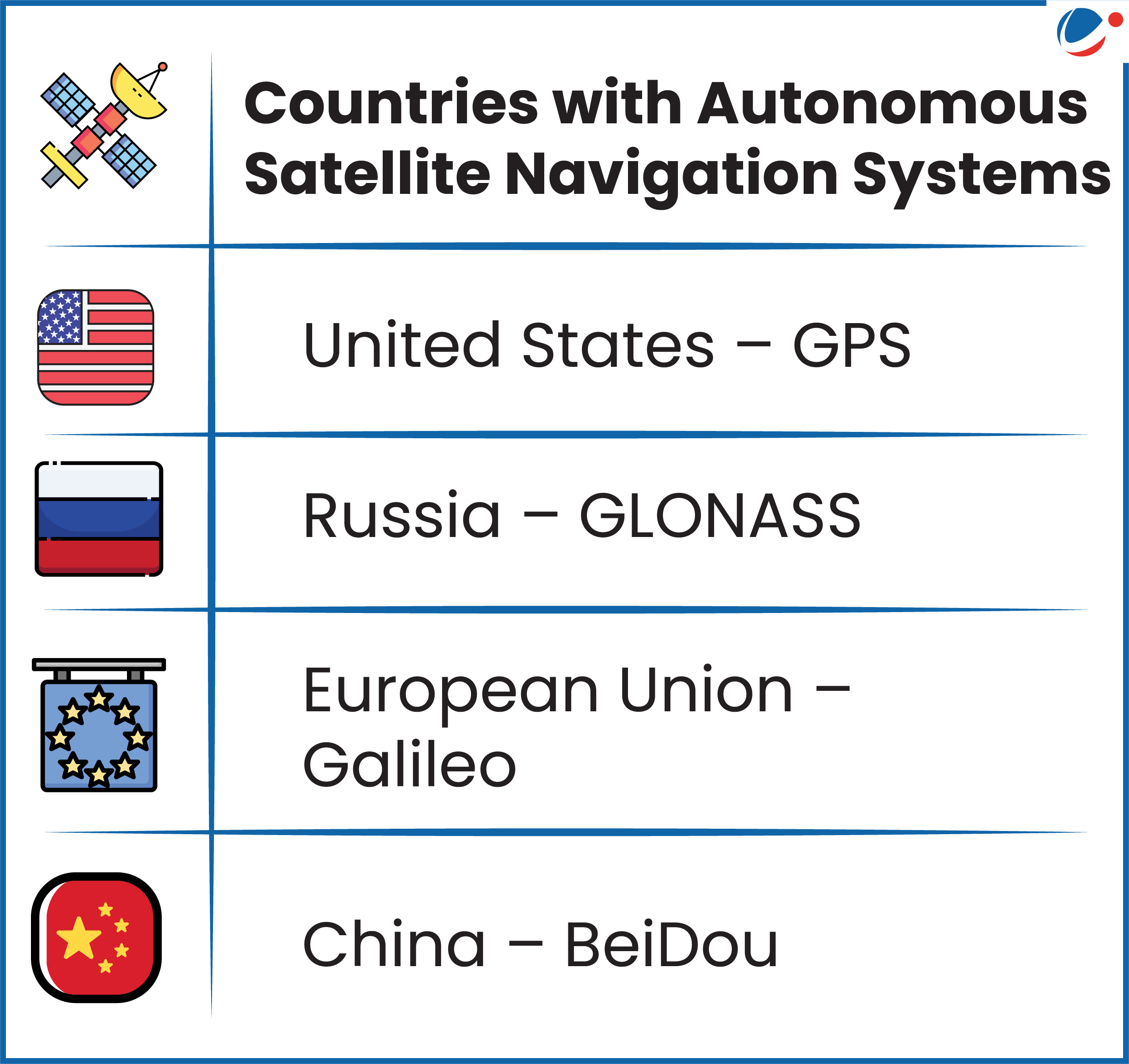
Image showing key Satellite Navigation Systems

About NavIC 

  • Developed by ISRO
    • It was erstwhile officially known as the Indian Regional Navigation Satellite System (IRNSS).
  • Coverage: Provides accurate Position, Velocity, and Timing (PVT) service up to region extending about 1500 km beyond the Indian landmass.
  • Satellite Constellation: Consists of 7 satellites and a network of ground stations operating 24 x 7. 
    • 3 satellites are placed in geostationary orbit and in inclined geosynchronous orbit.
    • These satellites are equipped with dual-band signals (L5 and S-band).
      •  The L5 signal is encrypted for military use.
  • Key services: Standard Position Service (SPS) for civilian users and Restricted Service (RS) for strategic users.

Strategic advantages of NavIC 

  • Independence from GPS: India could strike deep without relying on any foreign-owned navigation signals. (In 1999 Kargil War, USA denied use of GPS)
  • Encrypted Military Channel: Prevents jamming or spoofing during missile and drone missions.
  • Faster Signal Lock: Provides higher accuracy over the Indian subcontinent than even GPS in some regions.
  • Tactical Depth: With NavIC’s expansion to include NVS (NavIC Second Generation Satellite) series satellites, India aims to cover the Indian Ocean Region more comprehensively.

India’s vision for NavIC includes

  • Hypersonic Weapon Integration: Guiding future hypersonic glide vehicles (HGVs).
  • Space Command Network: Serving as the digital backbone for India’s Defense Space Agency, Intelligence, Surveillance, And Reconnaissance (ISR) satellites, and kinetic space response units.
  • Tags :
  • NavIC (Navigation with Indian Constellation)
  • Indian Regional Navigation Satellite System (IRNSS)
  • Position, Velocity and Timing (PVT) service
Watch News Today
Subscribe for Premium Features