
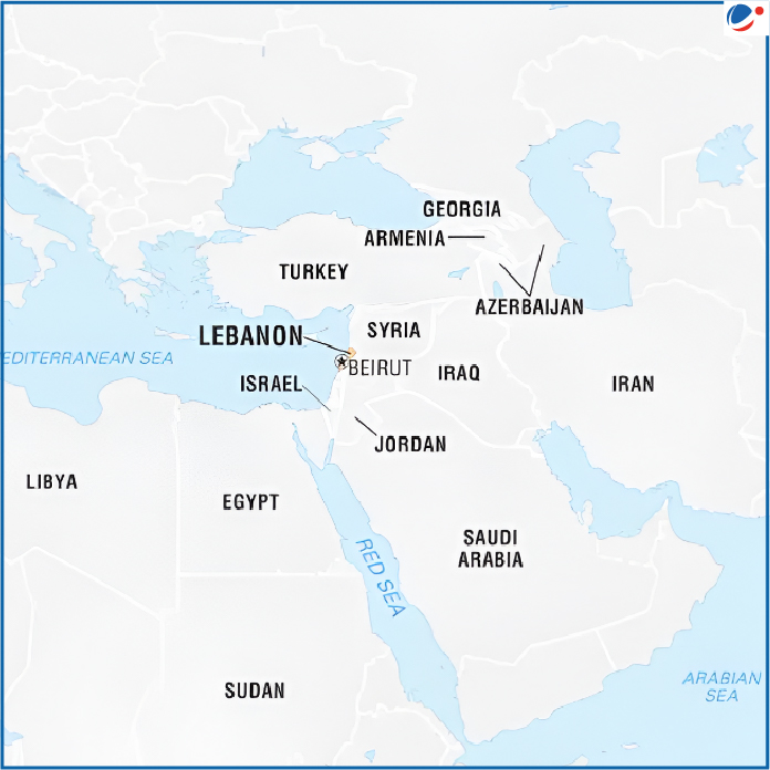
Lebanon (Capital: Beirut)
Recently, UNICEF highlighted acute water scarcity, while UNIFIL reported ongoing Israeli fire along the Blue Line in Lebanon.
- Lake Qaraoun (Lebanon’s largest reservoir) has dropped to its lowest level on record as per Litani River National Authority.
- Litani River is the longest and largest river in Lebanon which flows through Beqaa valley and empties into the Mediterranean Sea.
- Blue Line: It is a demarcation (line of withdrawal) drawn by the United Nations in 2000 to confirm Israel’s withdrawal from southern Lebanon after its occupation.
- It runs about 120 km along Lebanon’s southern frontier and Israel’s northern border
Political Features
- Location: A narrow strip of territory in the Levant region of West Asia.
- Maritime Boundary: Mediterranean Sea
- Boundaries: Syria (North and East) , Israel (South)
Geographical Features
- It is divided into four distinct physiographic regions
- Narrow coastal plain along the Mediterranean Sea
- Lebanon Mountains (Jabal Lubnān),
- Biqa (Al-Biqāʿ) valley &
- Anti-Lebanon and Hermon ranges
- Climate - Mediterranean climate ( winter wet and summer dry )
