Over Half of India’s Major River Deltas Sinking: Study | Current Affairs | Vision IAS
MENU
Home
Quick Links

High-quality MCQs and Mains Answer Writing to sharpen skills and reinforce learning every day.

Watch explainer and thematic concept-building videos under initiatives like Deep Dive, Master Classes, etc., on important UPSC topics.

ESC

In Summary

  • Seven major deltas, including Ganga-Brahmaputra and Nile, account for 57% of global subsiding delta area.
  • Excessive groundwater extraction and reduced silt deposits are key reasons for delta subsidence, with Brahmani and Mahanadi sinking fastest in India.
  • Measures to protect deltas include integrated approaches like groundwater regulation, sediment management, and advanced monitoring using InSAR.

In Summary

As per Study, Seven major deltas — Ganga-Brahmaputra, Nile, Mekong, Yangtze, Amazon, Irrawaddy and Mississippi — account for about 57% of total subsiding delta area worldwide. 

Key Reasons for Sinking of River Deltas

  • Excessive groundwater extraction: Driven by unsustainable use for agriculture, industry and domestic supply in densely populated regions.
  • Land Subsidence: Between 2014 and 2023, more than half of deltas experienced subsidence rates exceeding 3mm per year globally. 
    • Brahmani and Mahanadi stood out among the fastest-sinking deltas in India. 
  • Reduced seasonal silt deposits: It is essential for maintaining their elevation, while natural sediment flow is disrupted by river regulation and infrastructure. 
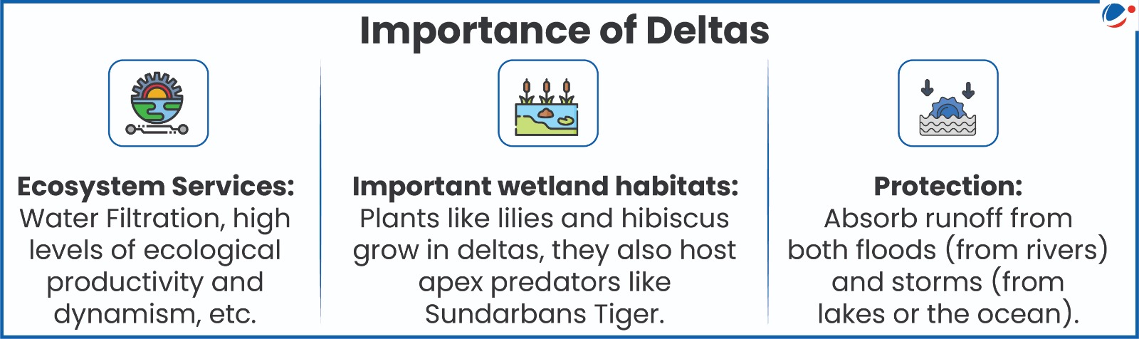
About River Deltas

  • A Depositional feature formed as rivers empty their water and sediment into another body of water, such as an ocean, lake, or another river.
  • For a delta to form, the flow of a river must be slow and steady enough for silt deposition and build up. Hence, not all rivers form deltas. 
  • They occupy just 1 per cent of land area, support around 6% of the global population, and host 10 of world’s 34 megacities.

Measures to Protect Deltas

  • Integrated approach: Prioritizes subsidence mitigation (for example, groundwater regulation, managed aquifer recharge and sediment management). 
  • Targeted Interventions: Addressing subsidence as an immediate and localized challenge along with broader efforts to counter climate change-driven global sea-level rise.
  • Advanced monitoring: Use of InSAR (Interferometric Synthetic Aperture Radar) for monitoring surface elevation changes, etc. 
Watch Video News Today

Explore Related Content

Discover more articles, videos, and terms related to this topic

RELATED VIDEOS

2
Carbon Markets

Carbon Markets

YouTube HD
What is Artificial Rain? | Deep Dive With VisionIAS

What is Artificial Rain? | Deep Dive With VisionIAS

YouTube HD

RELATED TERMS

3

InSAR (Interferometric Synthetic Aperture Radar)

InSAR is a remote sensing technique used to map ground deformation over large areas. It utilizes multiple radar images of the same area taken at different times to detect subtle changes in surface elevation, making it useful for monitoring land subsidence.

Managed Aquifer Recharge

Managed aquifer recharge is the intentional introduction of water into an aquifer for storage and potential future use. This process can help to replenish depleted groundwater resources and mitigate land subsidence.

Groundwater Extraction

Groundwater extraction refers to the removal of water from underground aquifers, typically for agricultural, industrial, or domestic use. Excessive extraction can lead to a depletion of water resources and contribute to land subsidence.

Title is required. Maximum 500 characters.

Search Notes

Filter Notes

Loading your notes...
Searching your notes...
Loading more notes...
You've reached the end of your notes

No notes yet

Create your first note to get started.

No notes found

Try adjusting your search criteria or clear the search.

Saving...
Saved

Please select a subject.

Referenced Articles

linked

No references added yet