
Why in the News?
The SVAMITVA (Survey of Villages and Mapping with Improvised Technology in Village Areas) Scheme has completed 5 years of its launch.
About SVAMITVA
- Launch: 2020.
- Implemented by: The Scheme is implemented with the collaborative efforts of the Ministry of Panchayati Raj, State Revenue Department, State Panchayati Raj Department and Survey of India.
- Key Technology Partner: Survey of India, and National Informatics Centre Services Inc. (NICSI)
- Major Components:
- Establishment of Continuously Operating Reference Stations (CORS) network: Establishes Ground Control Points for accurate geo-referencing and land demarcation.
- Drone Mapping: Survey of India maps rural inhabited areas using drones to create accurate property maps for issuing ownership rights.
- Information, Education, and Communication (IEC) Initiatives: Awareness programs educate local populations about the scheme's methods and benefits.
- Gram Manchitra Enhancement: Digital spatial data from drone surveys powers analytical tools for Gram Panchayat Development Planning.
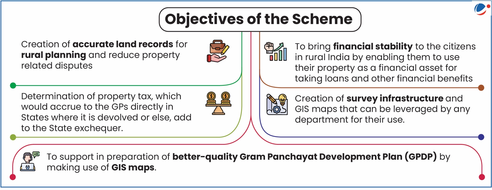
Significance of the scheme
- Legal Empowerment and Dispute Resolution: The scheme provides legal recognition of property ownership in rural areas through issuance of property cards, transforming the lives of millions of rural residents.
- As of now 1,30,633 property cards have been distributed across India to resolve long standing land disputes.
- Economic Transformation Through Financial Inclusion: Property cards issued under SVAMITVA serve as valuable collateral, unlocking access to formal financial systems previously unavailable to rural residents.
- A total of 67,000 sq.km of rural residential land has been surveyed, valued at Rs.132 lakh crore, emphasizes the economic significance of the initiative.
- Governance Revolution and Resource Optimization: Villages like Ekhatpur-Munjvadi (Maharashtra) have experienced increased Own Source Revenue (OSR) through updated property records, while Bilkisganj (MP) Gram Panchayat transitioned from imprecise hand-drawn maps to data-driven spatial planning.
- This shift optimizes resource allocation, improves service delivery, and empowers local self-governance institutions.
- Technological Innovation in Rural Development: The scheme represents a technological revolution in rural land mapping through its innovative use of survey-grade drones coupled with Continuous Operating Referencing System (CORS) networks.
- This combination produces high-resolution maps swiftly and accurately, dramatically improving the efficiency of rural land demarcation.
- This technological leap has enabled the scheme to achieve remarkable scale, with drone surveys completed in 92% of the notified villages across 31 States/UTs.
- Holistic Rural Transformation and Planning: States like Haryana and Uttarakhand, which have achieved 100% completion in both drone surveys and property card preparation, the scheme creates a blueprint for planned, sustainable rural development that can systematically address various challenges.
Challenges for the implementation of the scheme
- Unclear Legal Validity of Property Cards: Property cards may not be recognized as conclusive proof of ownership by financial institutions. It needs for states to enlist property cards as documents requiring stamp duty payment under Revenue Acts.
- Without legal amendments, property cards risk becoming "just another legal document which does not conclusively prove ownership".
- Variations in State Land Laws and Record-Keeping Practices: Different states have diverse laws governing land records and practices vary significantly across states.
- Andhra Pradesh maintains records of both registered and unregistered liabilities, whereas most other states only record registered mortgages.
- Limited Property Tax Collection Authority: Not all Gram Panchayats are empowered to collect property tax.
- States like Odisha have not empowered Gram Panchayats to collect property tax.
- In Uttar Pradesh and Uttarakhand, District Panchayats (not Gram Panchayats) collect property tax.
- Inadequate Protection for Marginalized Communities: There is risk of influential groups securing land titles at the expense of marginalized populations which include sharecroppers, Scheduled Castes, Scheduled Tribes, and women.
- There is also inconsistency in legal frameworks across states for recognizing rights of marginalized communities.
- For Ex. While some states like Karnataka and Maharashtra extend coparcenary rights (division of property between the co-owners or joint owners who have inheritance to the Hindu joint family) to daughters, protection varies widely across regions.
- There is also inconsistency in legal frameworks across states for recognizing rights of marginalized communities.
- Data Management and Compliance Challenges: There is lack of clear framework for how this compliance will be achieved as there is also gap in provisions for making non-personal land data publicly accessible for transparency.
Way Forward
- Strengthen Legal Framework: Ensure property cards have legal recognition by financial institutions by amending state Revenue Acts to include property cards as stamp duty documents.
- Standardize Record-Keeping: Develop uniform procedures to record all liabilities on property cards. Train revenue officials to implement streamlined record-keeping practices.
- Enhance Local Governance: Empower all Gram Panchayats to collect property tax through legal amendments. Similarly implement comprehensive property classification systems for accurate assessment thorough ground verification during surveys.
- Protect Marginalized Communities: Train surveyors to recognize rights of SC/ST groups, women, and sharecroppers. Ensure active community participation in mapping and documentation.
- Enhance Data Management: Make non-personal land data publicly accessible to improve transparency. Implement uniform geospatial data standards across all states to develop clear governance framework for data sharing and management.

